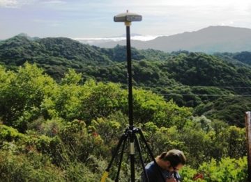
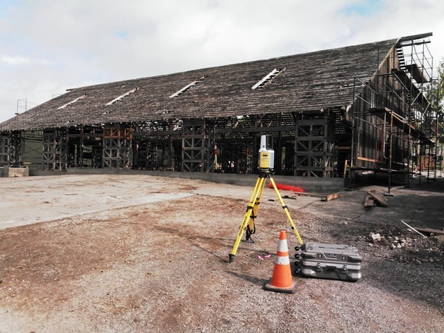
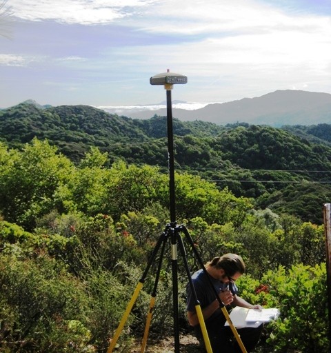
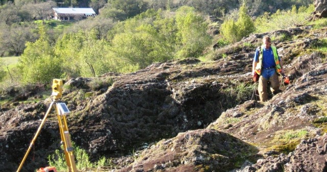
A Lot Line Adjustment (LLA) is an adjustment of a line or lines between legal parcels. The first step is to make sure we have two legal parcels that can be adjusted and have the potential for development. Sonoma County, as well as most counties and cities, has requirements and an ordinance that governs the process of a LLA. The process generally requires an application package prepared by a professional and submitted to the County or City for review with the appropriate filing fees. This package generally requires the current Deeds for each parcel, a Title Report for each parcel, Assessor's Parcel Map, Project Proposal Statement describing the adjustment and why, a USGS Quad Map, and a Site Map. The Site Map needs to reflect both parcels and the improvements on each one of them with the existing boundary lines, easements, and the proposed boundary line(s). Existing improvements include wells, buildings, driveways, utility poles, septic fields, and other significant improvements. The Site Map will require a field survey to identify these items and sometimes, but rarely, imagery can be used to supplement in areas that are not in close proximity to boundary lines or the area of adjustment.
Once the Lot Line Adjustment package is submitted the jurisdiction will review it and either deem it complete and conditionally approved, or incomplete and provide you with what needs to be added, or deny it with reason. If it is conditionally approved, they will provide a list of items that need to be completed before recording the new deeds. Such as, pay all property taxes, prepare legal descriptions and plats of the areas of adjustment, and make sure all lien holders sign off on partial reconveyances. These are some of the items that will be required, but certainly not an all-inclusive list.
Lot Line Adjustments are not required to be monumented. However, a Professional Land Surveyor can set monuments at the new corners but would then be obligated to file a Record of Survey with the County identifying the monuments that were set. A map must be prepared, reviewed, and subsequently recorded with the County in which the LLA was done.
This is a brief overview and does not detail all situations or regulations in all jurisdictions but a fair sampling of what we have experienced doing Lot Line Adjustments in many jurisdictions in Northern California.